
Landmark & History
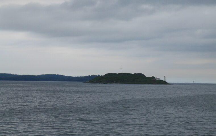
Georges Island
Home to historic Fort Warren, Georges Island combines Civil War-era fortifications, harbor views, picnic space, and ferry-accessible exploration beyond the downtown waterfront.
View place →
Every place connects back to the Boston Beautiful map, its neighborhood and related local stories.
Home to historic Fort Warren, Georges Island combines Civil War-era fortifications, harbor views, picnic space, and ferry-accessible exploration beyond the downtown waterfront.
View place →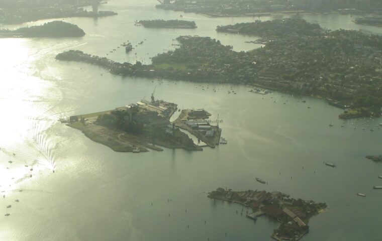
A Boston Harbor Islands destination reached by ferry, with beaches, hiking trails, picnic areas, and a hilltop panorama of the harbor and city skyline.
View place →
A waterfront East Boston park with athletic courts, open space, and direct skyline views across the harbor toward downtown Boston.
View place →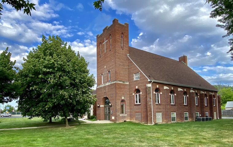
A long neighborhood park beside the Greenway with playgrounds, lawns, sports areas, community gardens, and a key pedestrian connection through East Boston.
View place →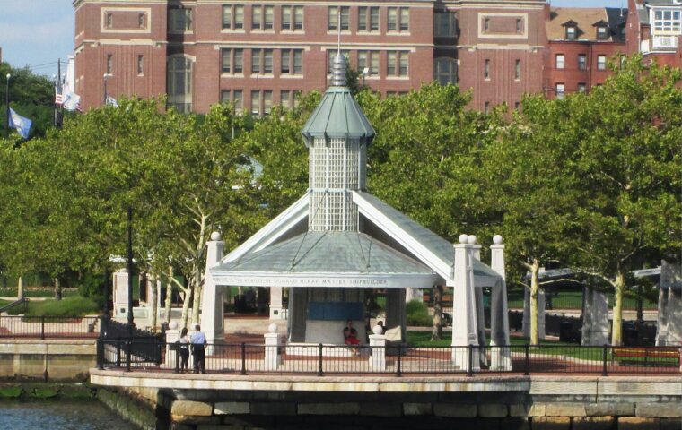
A beautifully landscaped harborfront park with skyline views, lawns, paths, pavilions, and one of East Boston’s best vantage points toward downtown.
View place →
A neighborhood recreation hub near Airport Station with fields, courts, open lawn, and convenient access for East Boston families and sports leagues.
View place →
Boston’s largest remaining salt marsh offers boardwalks, birdwatching, and open coastal habitat at the city’s northeast edge near East Boston and Winthrop.
View place →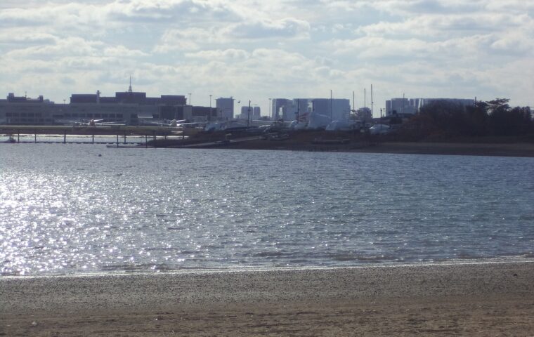
A sandy East Boston beach with calm harbor water, sports courts, walking paths, and unusually close views of aircraft approaching Logan Airport.
View place →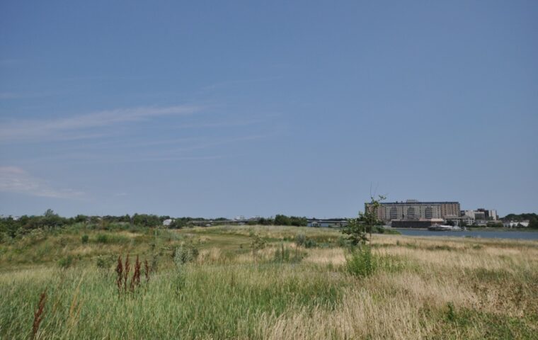
A broad Neponset River park with lawns, paths, marsh views, and easy connections to the river greenway, popular for biking, walking, and relaxed outdoor time.
View place →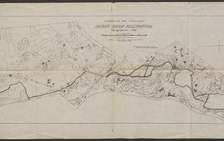
A large wooded reservation on Boston’s southwest edge with trails, ponds, picnic areas, athletic facilities, and room for a longer nature-focused outing.
View place →